Share on Facebook
 Share on X
 Share by Email
 Share on Google Classroom
The Richelieu River has played a prominent role in the historical development of Quebec. It was originally inhabited by Haudenosaunee (Iroquois), Wendat (Huron) and Algonquin. Colonization of the Richelieu region began with the arrival of Samuel de Champlain in 1608. Then came the construction of several forts along the river which played a role in the British Conquest of New France, the American Revolution and the rebellions of 1837–38. The development of the Chambly Canal in the 19th century led to the region’s economic boom. In the 20th century, commerce gave way to industry without completely abandoning agriculture.
Description
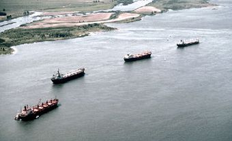
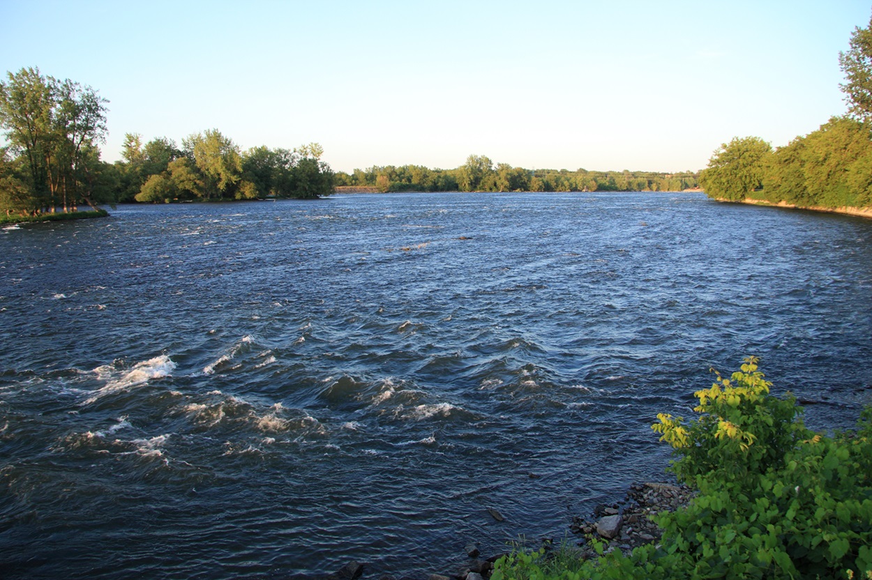
The Richelieu River (Rivière Richelieu), almost 130 km long, flows from Lake Champlain in the United States northward to the St. Lawrence River near Lac Saint-Pierre. Located in the southern part of Quebec, the river is often referred to in two parts: the Upper and Lower Richelieu ("le Haut et Bas Richelieu").
The southern portion of the river, the Upper Richelieu, is bordered by the cities and towns of Saint-Jean-sur-Richelieu, Iberville, Chambly, Beloeil and Mont Saint-Hilaire. A set of rapids extends from Saint-Jean to Chambly.
From there the Lower Richelieu continues its course through smaller, albeit perhaps more picturesque communities such as Saint-Charles, Saint-Denis and Saint-Ours. The Lower Richelieu then extends to the mouth or junction of the river with the St. Lawrence at the city of Sorel.
Historical & Military Importance
The Richelieu region was originally inhabited by Haudenosaunee (Iroquois), Wendat (Huron) and Algonquin. Samuel de Champlain navigated its waters shortly after his arrival in 1608.
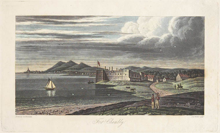
Throughout the French regime, the Richelieu (named after Cardinal Richelieu) was of great military importance. The French established numerous forts along it, including Île aux Noix (most of which is occupied by Fort Lennox), Fort Saint-Jean, Fort Sainte-Thérèse, Fort Saint-Louis (Fort Chambly) and Fort de Richelieu (now Sorel). Owing to the fertile nature of the land and its defences, French Canadian farmers settled here. Following the British Conquest of New France and the American Revolution, British military and Loyalist settlers joined the area's local populations. Benedict Arnold’s invasion of British North America included the capture of British forts along its route. Several uprisings of the rebellions of 1837–38, including the Battle of Saint-Denis and the Battle of Saint-Charles, took place along its shores.
Economic Importance
The Richelieu River and its valley were of significant economic importance in the 19th century. In 1843, the Chambly Canal was completed, bypassing the rapids and making the river transport of such products as wood, pulp, hay (see Forage Crops) and coal from the United States to Montreal more direct. Consequently, the regional centres of Sorel and Saint-Jean-sur-Richelieu grew and were incorporated as towns in the 1850s.
The construction of railway lines from the US to Montreal in this same period, however, contributed to the eventual decline of the river's traffic. The economic influence of the region thus changed from commerce to industry in the later 19th and 20th centuries. The Richelieu River valley nonetheless retains some importance as an agricultural base, yielding some of the province's finest produce, as well as maintaining a military and industrial presence. (See also Agriculture in Canada.)
Archeology
Parks Canada, previously a division of Environment Canada, conducted several archaeological excavations at Fort Chambly and Fort Lennox, and supervised the operations of the Chambly Canal. Archeological work revealed human presence in the region dating back 5,000 years. (See also Biosphere Reserves in Canada.)