Share on Facebook
 Share on X
 Share by Email
 Share on Google Classroom
James Bay is the southern appendage of Hudson Bay. It is about 160 km wide between Pointe-à-Louis-XIV on the east coast and Cape Henrietta Marie on the west. The Quebec-Ontario border is at the bottom of the bay, and its numerous islands were administered by the Northwest Territories but are now part of the territory of Nunavut. Akimiski is the largest island with an area of 3,001 km2.
History
The region has a long history of Indigenous habitation. The first European to visit the bay was Henry Hudson in 1610. The bay was named for Thomas James, who entered the bay in 1631 and spent a difficult winter on Charlton Island. The bay was long a centre for trade as Cree brought furs down the many rivers draining the surrounding area.
Hydrology
The major rivers, from east to west, are La Grande Rivière, Eastmain, Rupert, Nottaway, Harricana, Moose, Albany and Attawapiskat.
James Bay Project
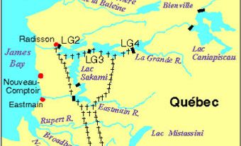
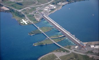
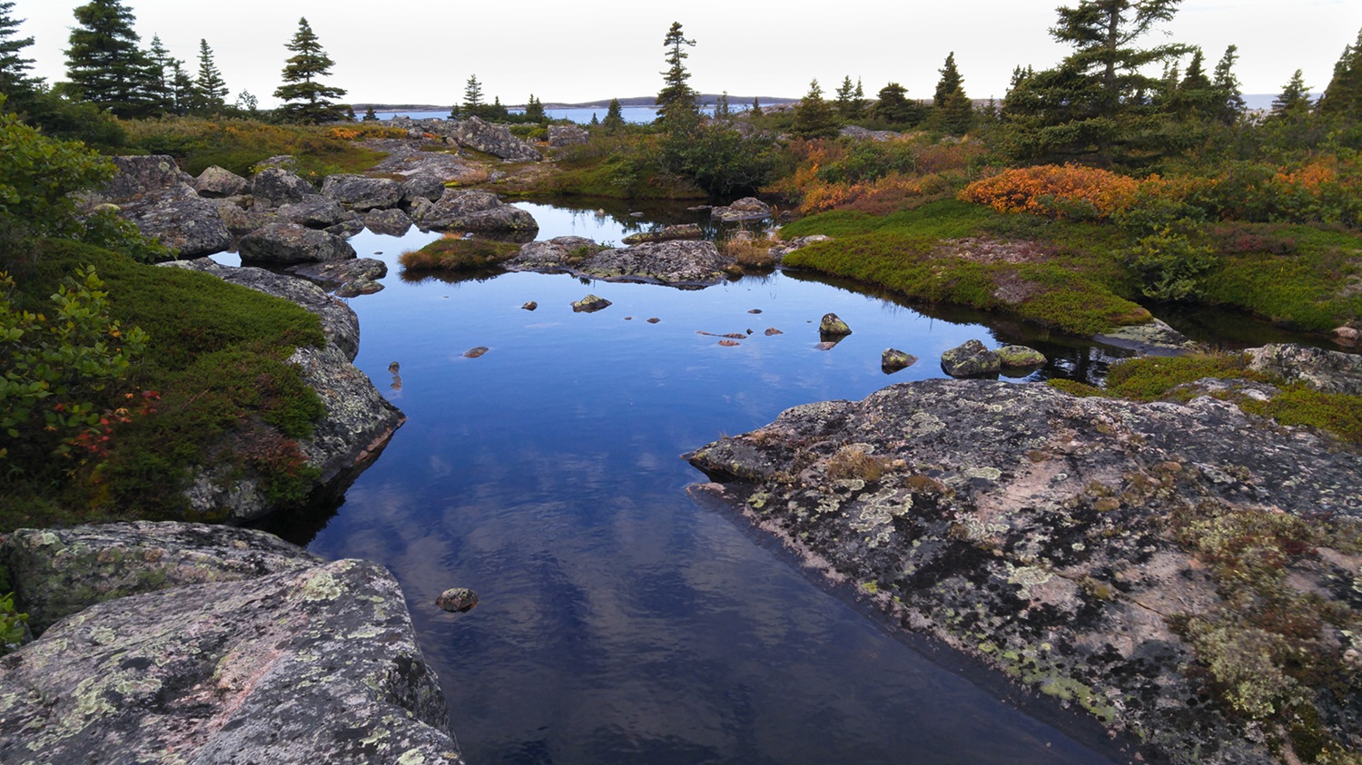
In 1971, Hydro-Québec and the government of Quebec initiated the James Bay Project, a monumental hydroelectric-power development on the east coast of James Bay. Over the course of two phases, a total of eight generating stations were built, allowing for the pollution-free production of a significant portion of Quebec’s electricity. However, the project also profoundly disrupted the environment and the Indigenous communities living in the region, the effects of which are still being felt today.
Communities
Fort Rupert, Moose Factory and Fort Albany — at the mouths of the rivers of the same names — were active Hudson's Bay Company posts. Moosonee, Ontario, the largest settlement in the area, is the northern terminus of the Ontario Northland Railway. There are various Indigenous communities in the area, such as Chisasibi (formerly Fort-George), Eastmain and Attawapiskat. Polar Bear Provincial Park, Ontario, borders the northwest coast.