Share on Facebook
 Share on X
 Share by Email
 Share on Google Classroom
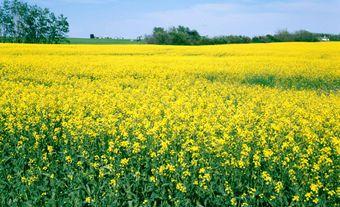
Arable land refers to soil that can be plowed, tilled and reliably used to grow annual crops such as grains, pulses, oilseeds and vegetables. It is a finite and foundational resource. Most of the world’s staple foods depend on soils capable of supporting intensive cultivation. Because arable land underpins food security, economic development, and ecological stability, its availability and protection are major concerns in Canada and globally.
Definition
The Food and Agriculture Organization (FAO) of the United Nations defines arable land as ground under temporary crops, temporary fallow or temporary meadows and pastures. It includes market gardens and land left fallow for fewer than five years. Importantly, the FAO definition does not include land that is potentially cultivable. The Government of Canada aligns with this definition in its national reporting and agricultural statistics.
What Makes Land Arable?
Land becomes suitable for farming through a combination of soil characteristics, hydrology, topography and climate. The quality of the soil itself is paramount. Productive soils typically have a balanced texture — often loam, a mix of sand, silt and clay — that allows roots to penetrate easily while maintaining both moisture retention and adequate drainage. Soil rich in organic matter supports microbial life, improves fertility and increases the soil’s ability to store nutrients and water.
Hydrology plays a critical role. Arable land requires a dependable water supply, whether through precipitation, groundwater or irrigation. Topography also influences suitability. Flat or gently sloping land is easier to cultivate and less prone to erosion. Climate determines the length of the frost-free growing season and the temperature range required for specific crops. In Canada, where growing seasons vary dramatically by latitude, climate is often the limiting factor.
Understanding what makes land arable is increasingly important as global pressures — population growth, climate change and land conversion — affect the availability of this limited resource.
Ranking Soil Capability in Canada
Canada evaluates agricultural potential through the Canada Land Inventory (CLI), which ranks land into seven classes based on limitations such as climate, soil quality, topography and drainage. Classes 1 to 3 are considered dependable arable land.
Class 1 soils have the highest capability. They are deep, well‑drained, and nearly free of limitations, supporting a wide range of crops.
Class 2 soils remain highly productive but have moderate limitations — such as gentle slopes, slight erosion risk, or minor drainage issues — that may restrict crop choice or require conservation practices.
Class 3 soils have more significant limitations, including steeper slopes, lower water-holding capacity or restricted rooting zones, resulting in a narrower range of suitable crops.
Only about 5 per cent of Canada’s total land area falls into Classes 1–3. Less than 0.5 per cent is Class 1, and more than half of that premium land lies in southern Ontario (see Ontario’s Greenbelt). Class 2 accounts for roughly 1.8–2 per cent of Canada’s land, and Class 3 for 2.5–2.7 per cent. Altogether, Canada has approximately 38 million hectares of dependable arable land.
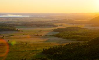
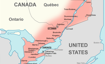
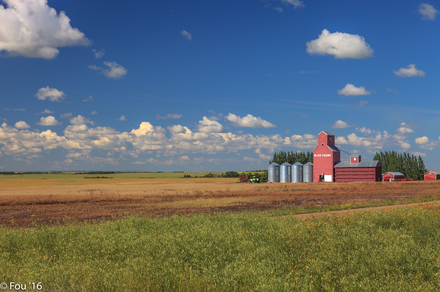
Arable land is unevenly distributed. The Prairies form Canada’s agricultural heartland. Saskatchewan alone contains over 40 per cent of the country’s cultivated farmland, with Alberta and Manitoba contributing most of the remainder. Highly productive pockets also exist in southern Ontario and southern Quebec, where climate and soil conditions align favourably.

What Is Non-Arable Land?
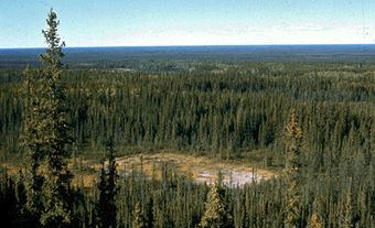
Non-arable land cannot sustain planted crops. In Canada, this includes the exposed bedrock and steep terrain of the Canadian Shield, the tundra and permafrost of the Arctic, and the extensive boreal forests and wetlands. These landscapes support ecological systems but are unsuitable for annual crop production.
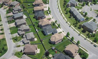
Urbanization also creates non-arable land. Once topsoil is removed or built over — through roads, housing, industrial sites, or other infrastructure — the land is effectively lost to agriculture.
Issues and Trends in Canada
The amount of arable land in Canada is not fixed. It changes in response to environmental conditions, land-use decisions and economic pressures.
According to the Census of Agriculture, every province has experienced decades of decline in total farm area. Nationally, arable land decreased by 8 per cent between 2001 and 2021 — from 68 million hectares to 62 million hectares.
Urban Expansion
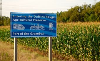
Urban growth is the leading cause of arable land loss. A Statistics Canada comparison of surveys from 1971 to 2011 found that 642,100 hectares of agricultural land were converted to settlement around major metropolitan areas (see Urban Sprawl in Canada). The most dramatic change occurred in the Greater Golden Horseshoe around Toronto, where 85 per cent of new urban settlement during that period was built on former prime farmland (see Ontario’s Greenbelt). Once converted, farmland rarely returns to agricultural use.
Other Pressures
Beyond urbanization, arable land may be lost through abandonment, flooding or re-naturalization. In some regions, agricultural expansion pushes into wetlands or forests. Climate change is altering the northern landscape. Warmer temperatures and thawing permafrost create new areas that appear cultivable, though these soils are often fragile and require significant adaptation.
Technological innovations — such as improved irrigation, hydroponics, and greenhouse systems — allow food production on marginal lands, but they do not replace the ecological value of naturally fertile soils.
Data from Environment and Climate Change Canada show that between 2001 and 2020, forest land became cropland more quickly than cropland became urban settlement, illustrating the dynamic nature of land-use change.
Protecting Canada’s Arable Land
Canada uses a mix of legislation, policy frameworks and stewardship programs to protect its limited arable land.
Because natural resources fall primarily under provincial jurisdiction, most binding protections occur at the provincial and municipal levels. The strongest tools are zoning laws that restrict non-farm development. For example, British Columbia’s Agricultural Land Reserve (ALR), established in 1973, designates roughly 4.6 million hectares where agriculture is the priority land use.
Federally, Canada focuses on soil sustainability rather than zoning. The National Agricultural Soil Health Strategy aims to improve long-term soil resilience, reduce erosion and support sustainable farming practices.
Several provinces — including Alberta, Saskatchewan, Manitoba, Quebec and Prince Edward Island — restrict foreign ownership of farmland to maintain local control and keep land prices accessible for working farmers.
Governments also collaborate with First Nations on soil protection. These efforts emphasize co-management, Indigenous-led stewardship, and the return of land jurisdiction. Indigenous knowledge systems, which highlight the interconnectedness of soil, water and vegetation, increasingly inform modern soil conservation programs.