Share on Facebook
 Share on X
 Share by Email
 Share on Google Classroom
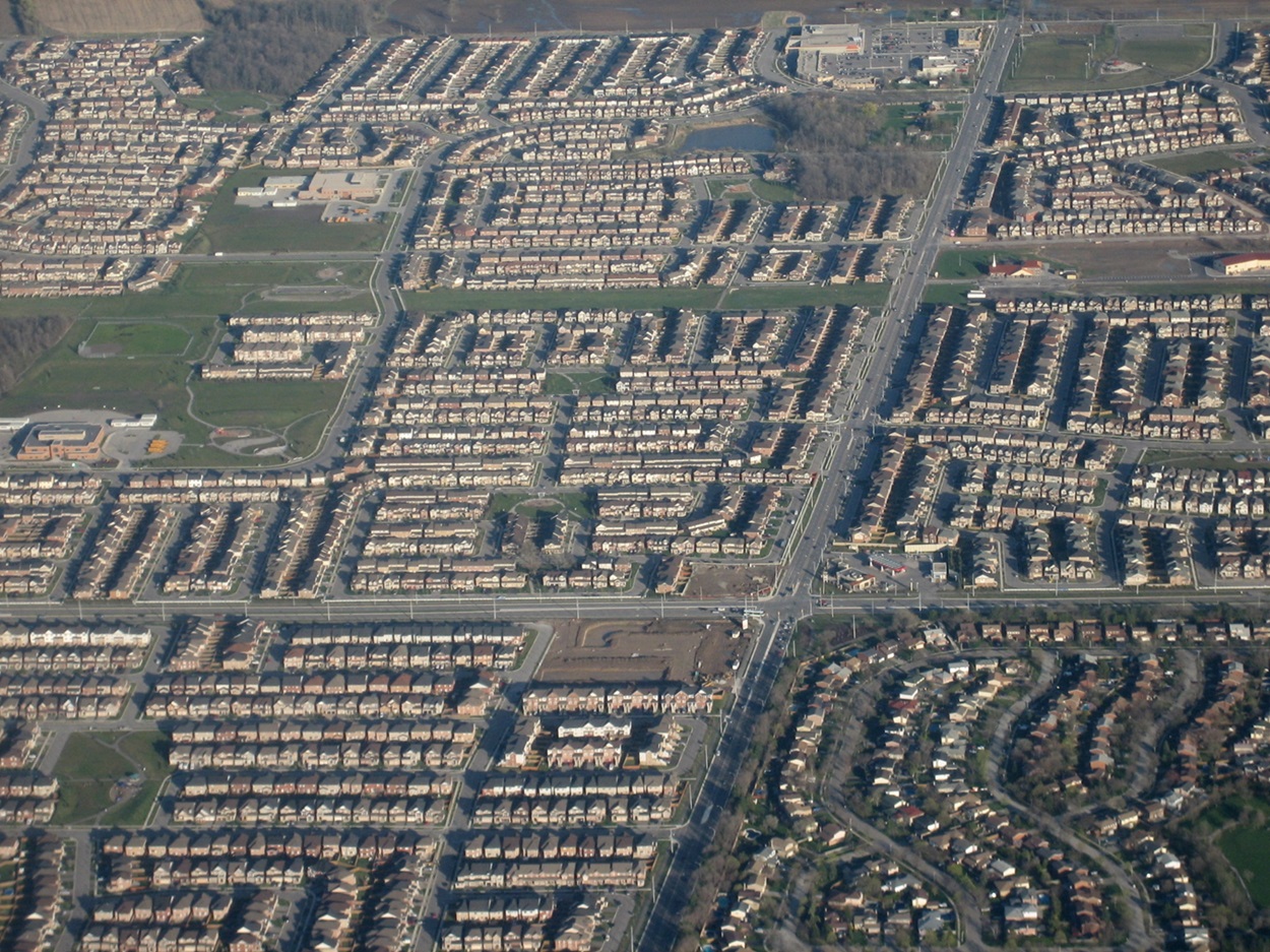
Urban sprawl is the overexpansion of urban areas, far from existing city cores, into previously undeveloped land. Often, the land being replaced was previously used for agriculture. Sprawl is characterized by low-density housing and an urban design that prioritizes or requires driving to get to routine destinations. As of 2021, two-thirds of Canadians live in suburban areas, though some suburbs are less sprawl-like than others. Despite immense condominium construction in Toronto and Vancouver, these cities saw 3.4 and 2.4 times as much population growth at their edges as in their cores.
History
Much of today’s sprawl is within cities that began in the early centuries of Canada's settlement. Initially, towns existed as garrisons, trading posts or to service the surrounding agricultural land. While they would grow over time, their urban areas remained relatively compact, surrounded by farmland.
Entering the 20th century, there were many decades of cautious spending. Canadians dealt with inflation and widespread unemployment after the First World War. That was followed with scrimping by during the Great Depression and the Second World War.
After the war, returning soldiers looked to start families and needed homes of their own. They were aided by the federal government's creation of the Central Mortgage and Housing Corporation in 1946. It offered low-interest loans to veterans before extending to other families. Simultaneously, Canada experienced economic success.
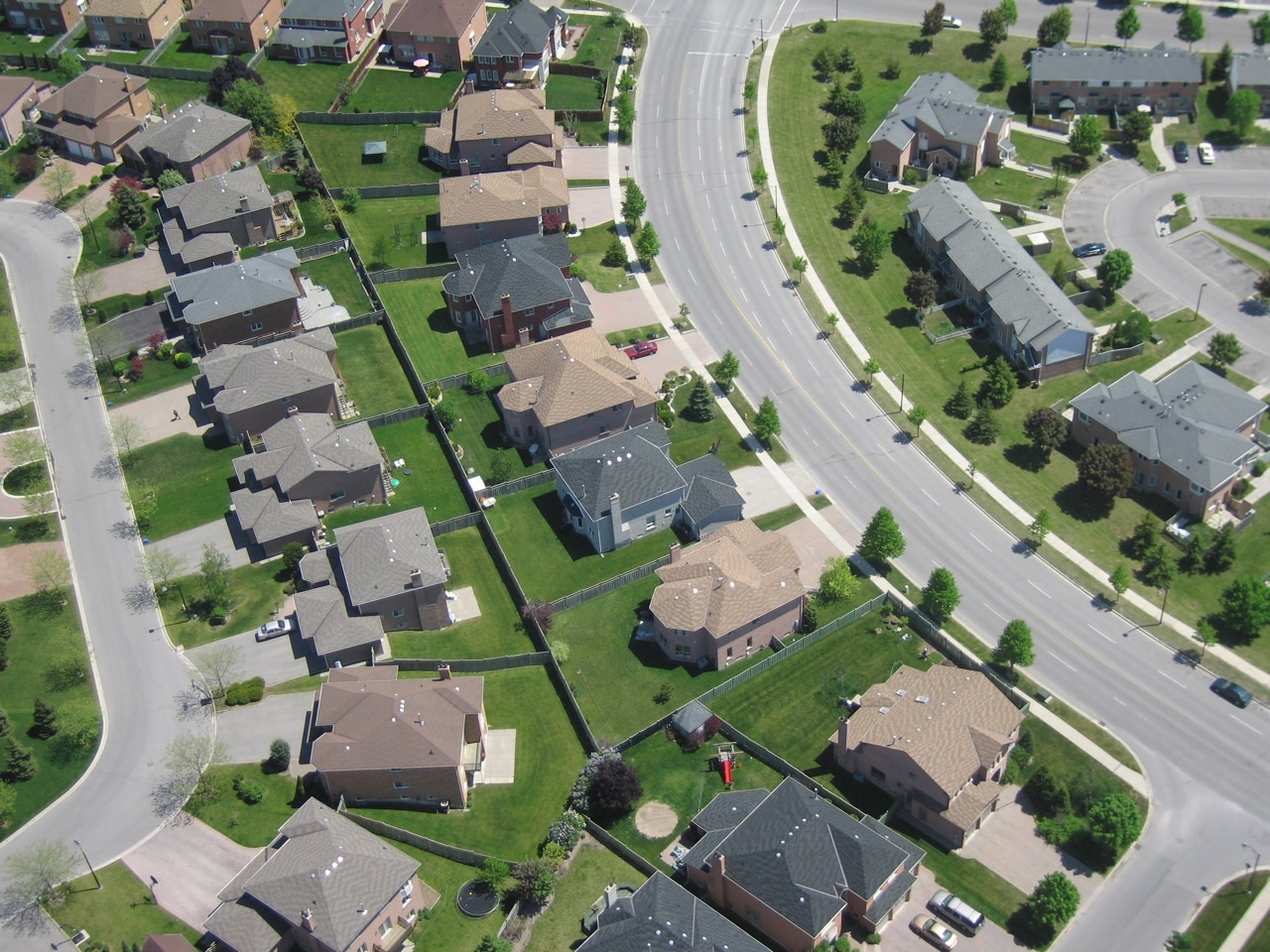
This led to the creation of neighbourhoods of compact, entry-level homes. The grid street patterns of the past were replaced by crescents and cul-de-sacs, designed to create safer streets by reducing through traffic. In 1947, a Montreal newspaper described its city’s sprawl as “a cancer that is destroying health, leisure and even family life.”
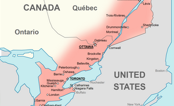
This early expansion of urban boundaries still tended to be within a short distance of a historic town centre. In recent decades, this has spread to predominantly rural areas and distant cities, and involves larger houses. For instance, Ontario’s commuter train service, GO Transit, now connects Niagara (132 km) and Stratford (142 km) to Toronto’s Union Station.
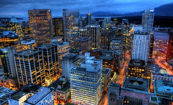
Some cities have fared better than others in controlling sprawl. Between 2016 and 2021, 99.2 per cent of new housing in Vancouver was within the existing population area. The greatest percentage of sprawl was found in Winnipeg, with 15.2 per cent of new homes built on the edges. In Halifax, 32 per cent of new homes were built in rural areas, beyond the sprawl.
Causes of Sprawl
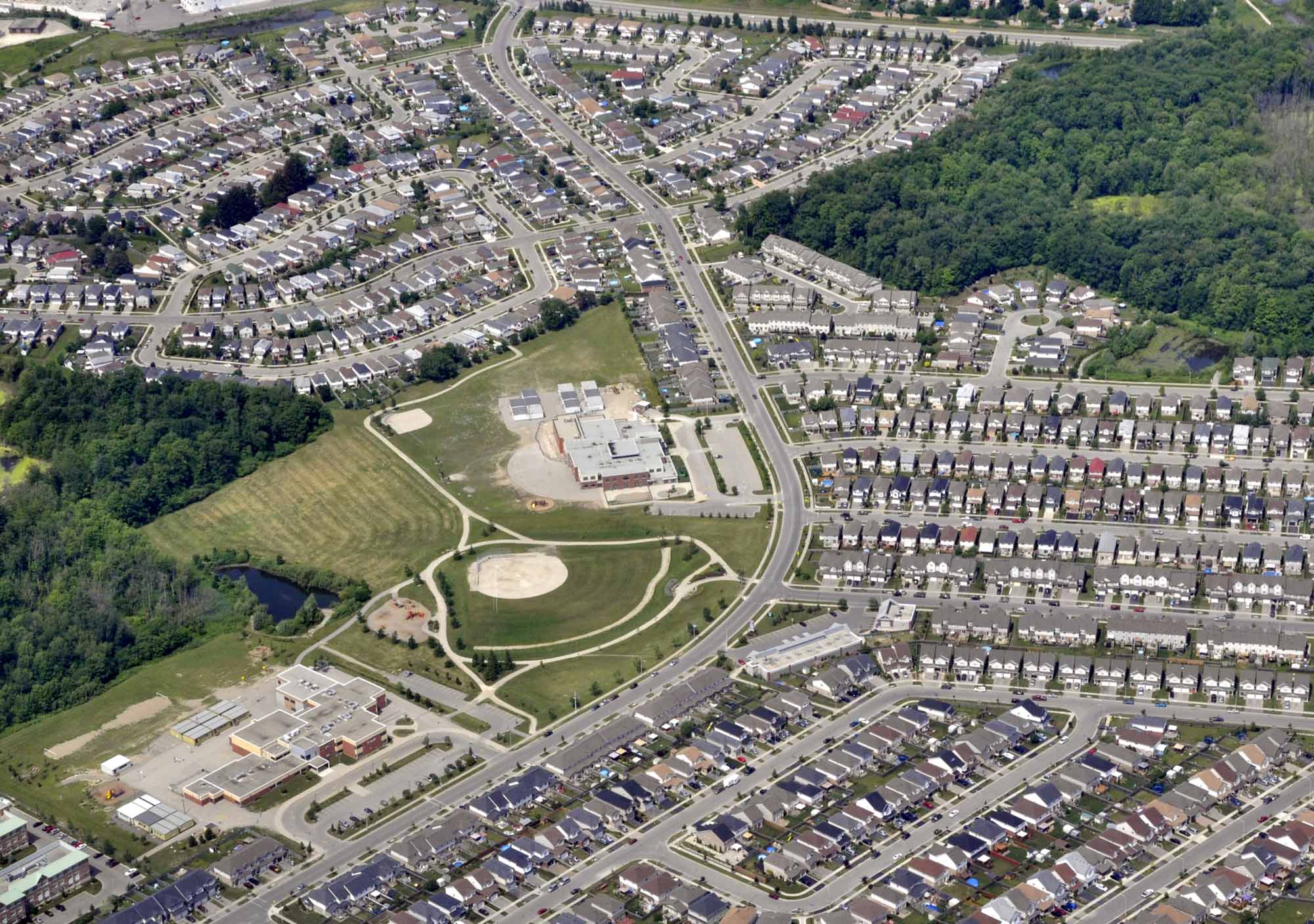
Land on the edges of a city tends to be cheaper than land within it. This makes it more appealing to both developers and homebuyers. Suburban homes can often offer more space at a lower price than city homes.
A Statistics Canada study found that Canadians are more satisfied with owning their homes than with renting. The same study also found that the lower the housing density, the greater the satisfaction with housing. These are traits generally associated with suburban areas.
Sprawl is sometimes encouraged by the creation of new highways. Both Saskatoon and the west end of the Greater Toronto Area are to receive new highways that will pass through currently rural areas. While meant as a bypass for existing urban areas, both are expected to encourage further low-density development.
Differing Decisions
Sometimes, urban sprawl is not a decision of cities but of provinces. The Constitution Act, 1867, determined that municipalities only have the powers that provinces grant them. They are often described as “creatures of the province” because of this. This can lead to conflicts between provincial and local governments over land-use planning.
The modern boundaries of the cities of Hamilton and Ottawa were each created from historic county-level governments. After amalgamation, much of each area remained farmland. In recent years, both have been pushing for the redevelopment of existing neighbourhoods at higher densities.
In 2023, the province of Ontario imposed urban boundary expansions on several municipalities, including Hamilton and Ottawa. They were announced as non-negotiable changes to the local official plan documents. After pushback from municipalities, that expansion wasn’t needed to build housing, the province reversed the boundary expansions.
Still, developers in communities like Hamilton and Ottawa have continued to push for expansion on a case-by-case basis. The cities are routinely taken to the Ontario Land Tribunal, a land-use planning adjudication body.
Impacts of Sprawl
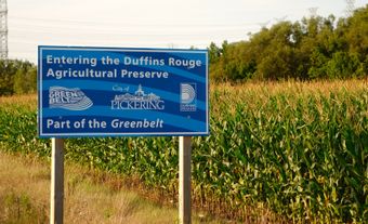
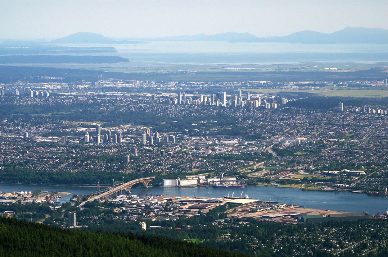
As some early cities were located to serve agricultural areas, they tended to be located near prime agricultural land. The soaring value of land near urban areas makes it difficult for the next generation of farmers to buy land during a critical moment, as more than half of Canadian farm operators are over 60 as of 2026. Increasingly, farmers are forced to rent land, while owners are courted by developers looking to buy them out. One example of this is the Calgary-Edmonton corridor, where both cities and Red Deer, in between, have significantly expanded into farmland since the 1980s.
Transit services reduce the number of drivers in a community, reducing congestion on roads. But subdivisions need enough density to justify providing frequent service to neighbourhoods. Transit routes in cities including Brampton, Calgary and Kitchener have been cut due to low ridership. In Calgary, the cost of transit to new communities is factored into development approvals; however, servicing everywhere is challenging the entire system.
People often live far from their workplace. The longest average commutes in Canada as of 2025 are for residents of Toronto (34.9 minutes), Barrie (31.6), Vancouver (31.1) and Oshawa (30.8).
Development charges are fees a city charges developers to pay for infrastructure such as water, sewers, roads and streetlights. These costs are passed on to the homebuyer. But development also creates costs that aren’t covered by the charges and are paid for by all taxpayers. In 2005, Halifax Regional Municipality found that servicing low-density suburban areas costs twice as much as servicing high-density urban areas. Terming it “sprawl subsidy,” Calgary calculated the true cost of growth, passing this along to developers starting in 2016, while Kitchener, Ontario, charges 74 per cent more for development in suburban areas than in the city’s centre.
As natural areas become disconnected, habitat fragmentation has led to the decline of some species, while others, like coyotes, have been pushed into the urban areas now encroaching on what was their habitat.
The dependency on cars in suburban sprawl discourages walking. A “sedentary lifestyle” is a risk factor for many diseases and is a factor in social isolation.