Browse "Places"
-
Article
Gray Burial Site
Gray Burial Site, north of Swift Current, Sask, lies on a sandy hillside west of an ancient glacial outwash channel.
"https://thecanadianencyclopedia.ca/images/tce_placeholder.jpg?v=e9dca980c9bdb3aa11e832e7ea94f5d9" // resources/views/front/categories/view.blade.php
https://thecanadianencyclopedia.ca/images/tce_placeholder.jpg?v=e9dca980c9bdb3aa11e832e7ea94f5d9
-
Article
Great Bear Lake
Great Bear Lake is located in the Northwest Territories. With a surface area of 31,328 km2, Great Bear Lake is the largest lake located entirely inside Canadian borders. It is also the fourth largest in North America and the eighth largest in the world. Water flows out of the lake into the Great Bear River, then into the Mackenzie River. Other rivers connected to the lake include the Dease, Camsell and Johnny Hoe. Great Bear Lake is made up of five separate arms, each with their own names: Dease, McTavish, McVicar, Keith and Smith. (See also Largest Lakes in Canada.)
"https://d3d0lqu00lnqvz.cloudfront.net/media/media/b3f3c222-8825-473d-834b-5d76b45c35df.jpg" // resources/views/front/categories/view.blade.php
https://d3d0lqu00lnqvz.cloudfront.net/media/media/b3f3c222-8825-473d-834b-5d76b45c35df.jpg
-
Article
Great Divide Trail
Great Divide Trail is a long-distance hiking trail, paralleling where possible the CONTINENTAL DIVIDE of Canada's Rocky Mts range. Some 560 km of the trail lies within the boundaries of Banff, Kootenay, Yoho and Jasper national parks, extending from Palliser Pass in the S to Mt ROBSON in the N.
"https://thecanadianencyclopedia.ca/images/tce_placeholder.jpg?v=e9dca980c9bdb3aa11e832e7ea94f5d9" // resources/views/front/categories/view.blade.php
https://thecanadianencyclopedia.ca/images/tce_placeholder.jpg?v=e9dca980c9bdb3aa11e832e7ea94f5d9
-
Article
Great Lakes
The Great Lakes are the largest group in a chain of large lakes (including Winnipeg, Athabasca, Great Slave and Great Bear) that lies along the southern boundary of the Canadian Shield. From west to east the Great Lakes comprise lakes Superior, Michigan (entirely in the US), Huron, St. Clair, Erie and Ontario. They have a total area of approximately 244,100 km 2 and drop from 183 m above sea level at Lake Superior to 74 m at Lake Ontario — the most dramatic drop occurring at Niagara Falls. Lake St Clair, while not properly a “great lake,” is considered part of this Laurentian chain.
"https://d3d0lqu00lnqvz.cloudfront.net/lakesincanada/Great-Lakes.jpg" // resources/views/front/categories/view.blade.php
https://d3d0lqu00lnqvz.cloudfront.net/lakesincanada/Great-Lakes.jpg
-
Article
Great Slave Lake
Great Slave Lake is located in the Northwest Territories. It is the second largest lake entirely within Canadian borders, the fifth largest in North America, and the tenth largest in the world. With a maximum depth of 614 m, it is also North America’s deepest lake. Two arms, referred to as the North and East arms, extend from the lake. The name “Slave” derives from “Slavey” — a word sometimes applied to a major group of Dene people indigenous to the region.
"https://d3d0lqu00lnqvz.cloudfront.net/greatslavelake/great-slave-lake-waters.jpg" // resources/views/front/categories/view.blade.php
https://d3d0lqu00lnqvz.cloudfront.net/greatslavelake/great-slave-lake-waters.jpg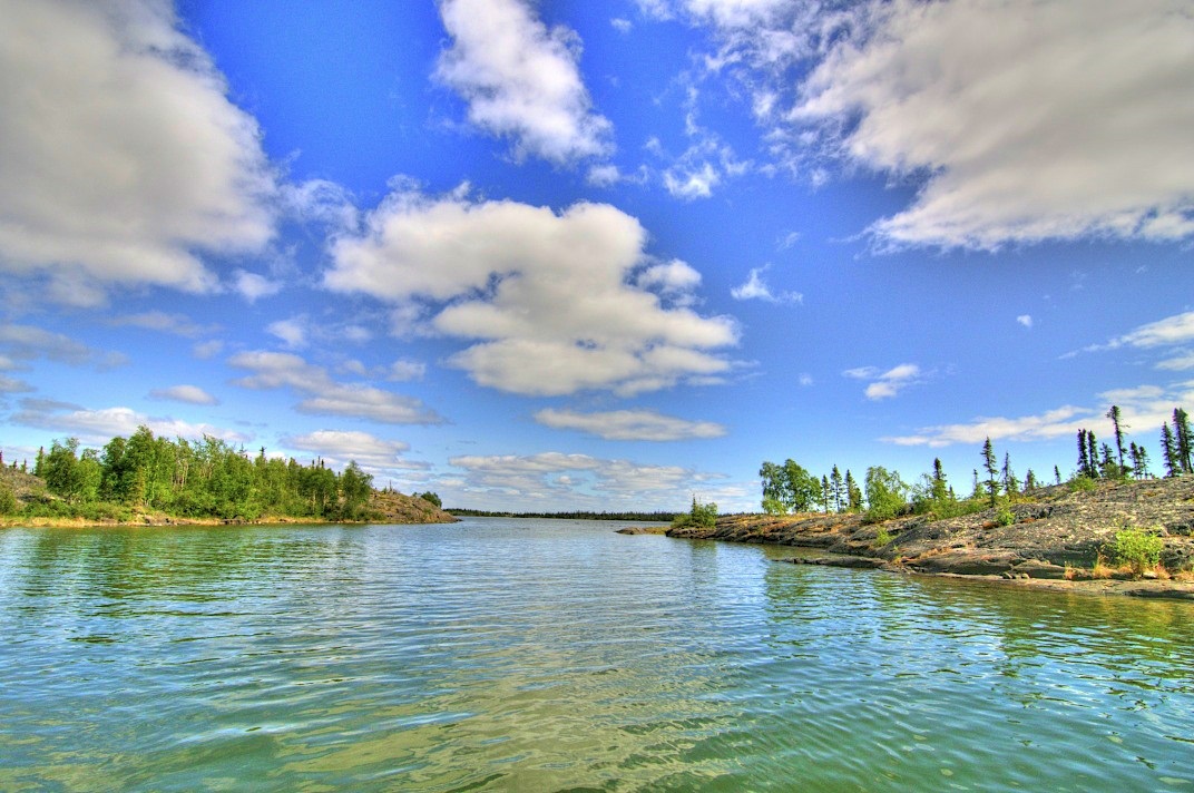
-
Article
Great Western Railway
The London and Gore Railroad Co, incorporated 6 May 1834, changed its name to the Great Western Rail Road Co in 1845 and to the Great Western Railway in 1853. Promoted by lawyer-politician Allan Napier MACNAB and more significantly by Hamilton merchants Isaac and Peter Buchanan, R.W.
"https://d3d0lqu00lnqvz.cloudfront.net/media/media/a580af8a-f4ac-492b-a8d0-ab27d566d754.jpg" // resources/views/front/categories/view.blade.php
https://d3d0lqu00lnqvz.cloudfront.net/media/media/a580af8a-f4ac-492b-a8d0-ab27d566d754.jpg
-
Article
Greater Napanee
Greater Napanee, Ont, incorporated as a town in 1864, population 15 511 (2011c), 15 400 (2006c). The Town of Greater Napanee is located 39 km west of Kingston on the Napanee River and six km from the Bay of Quinte on Lake Ontario.
"https://d3d0lqu00lnqvz.cloudfront.net/media/media/53717f9c-a23e-4602-aeb5-9cfdb8f04b79.jpg" // resources/views/front/categories/view.blade.php
https://d3d0lqu00lnqvz.cloudfront.net/media/media/53717f9c-a23e-4602-aeb5-9cfdb8f04b79.jpg
-
Article
Green Thumb Theatre
Foon wrote Heracles, about Greek heroes; Raft Baby, a l9th-century tale from the BC interior; and The Windigo, from an Ojibwa myth. Shadowdance, written by Sheldon Rosen and directed by Yurek Bogajewicz, was an innovation in children's theatre and provided a frightening glimpse of a medieval world.
"https://d3d0lqu00lnqvz.cloudfront.net/media/media/16cf43b0-bed0-4da5-b702-e6e23b3911ce.jpg" // resources/views/front/categories/view.blade.php
https://d3d0lqu00lnqvz.cloudfront.net/media/media/16cf43b0-bed0-4da5-b702-e6e23b3911ce.jpg
-
Article
Greenfield Park
Greenfield Park, Qué, pop 16 978 (2001c), 17 337 (1996c), incorporated as a city in 1911, from January 2002, is a borough of the new city of Longueuil created by the amalgamation of 8 distinct municipalities. Greenfield Park is located opposite Île de Montréal on the South Shore of the St Lawrence River.
"https://d3d0lqu00lnqvz.cloudfront.net/media/media/066c39bd-0c7c-422e-b8db-dabafc5f4043.jpg" // resources/views/front/categories/view.blade.php
https://d3d0lqu00lnqvz.cloudfront.net/media/media/066c39bd-0c7c-422e-b8db-dabafc5f4043.jpg
-
Article
Greenland (Kalaallit Nunaat)
Greenland, also known as Kalaallit Nunaat, is the world’s largest island and Canada’s northeasterly neighbour. The capital city of Nuuk has a population of 19,604, though Greenland as a whole has a population of over 55,000 (2023). Primarily inhabited by Inuit and other Nordic Indigenous peoples, the island is under Danish sovereignty today. Known for its dramatic landscape and massive ice sheet, Greenland has been growing its tourism industry in recent years.
"https://d3d0lqu00lnqvz.cloudfront.net/greenland/dog-sledding.jpg" // resources/views/front/categories/view.blade.php
https://d3d0lqu00lnqvz.cloudfront.net/greenland/dog-sledding.jpg
-
Article
Greenwood
Greenwood, BC, incorporated as a city in 1897, population 708 (2011c), 625 (2006c). The City of Greenwood is located 27 km west of GRAND FORKS on Highway 3. It grew as a result of the mining boom in the Boundary District in the 1890s and nearly died when the boom ended.
"https://d3d0lqu00lnqvz.cloudfront.net/media/media/e9c8f32a-e1a5-4721-8e46-8f3903b9c210.jpg" // resources/views/front/categories/view.blade.php
https://d3d0lqu00lnqvz.cloudfront.net/media/media/e9c8f32a-e1a5-4721-8e46-8f3903b9c210.jpg
-
Article
Griffintown
Griffintown was developed in the 19th century as a working-class Irish neighbourhood of Montréal. It underwent several attempts at urban revitalization from the 1980s onwards. Since 2010, there have been a number of controversial real estate developments in the neighbourhood. The neighbourhood is part of the Sud-Ouest and Ville-Marie boroughs of Montréal. It is located along the Lachine Canal, between Notre-Dame, McGill and Guy streets.
"https://d3d0lqu00lnqvz.cloudfront.net/View-2942.jpg" // resources/views/front/categories/view.blade.php
https://d3d0lqu00lnqvz.cloudfront.net/View-2942.jpg
-
Article
Grimsby
Grimsby, Ontario, incorporated as a town in 1970, population 25 325 (2011c), 23 937 (2006c). The Town of Grimsby is situated on the NIAGARA PENINSULA to the east of Hamilton.
"https://thecanadianencyclopedia.ca/images/tce_placeholder.jpg?v=e9dca980c9bdb3aa11e832e7ea94f5d9" // resources/views/front/categories/view.blade.php
https://thecanadianencyclopedia.ca/images/tce_placeholder.jpg?v=e9dca980c9bdb3aa11e832e7ea94f5d9
-
Article
Grimshaw
Grimshaw, Alta, incorporated as a town in 1953, population 2515 (2011c), 2537 (2006c). The Town of Grimshaw is located in the Peace River area 26 km west of the town of PEACE RIVER.
"https://d3d0lqu00lnqvz.cloudfront.net/media/media/2862aeaf-cace-4b85-aac6-6d4f4ad9c96e.jpg" // resources/views/front/categories/view.blade.php
https://d3d0lqu00lnqvz.cloudfront.net/media/media/2862aeaf-cace-4b85-aac6-6d4f4ad9c96e.jpg
-
Article
Grise Fiord
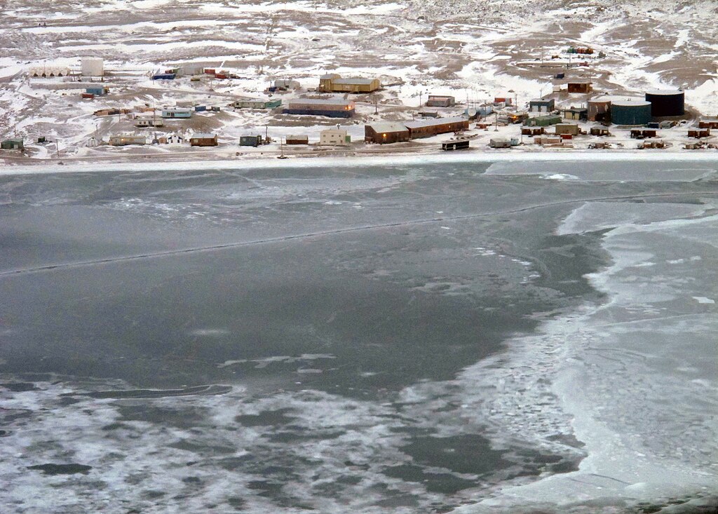
Grise Fiord, Nunavut, incorporated as a hamlet in 1987, population 144 (2021 census), 129 (2016 census).
"https://d3d0lqu00lnqvz.cloudfront.net/media/media/Grise-Fiord/View_of_Grise_Fiord.jpg" // resources/views/front/categories/view.blade.php
https://d3d0lqu00lnqvz.cloudfront.net/media/media/Grise-Fiord/View_of_Grise_Fiord.jpg