Share on Facebook
 Share on X
 Share by Email
 Share on Google Classroom
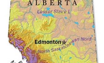
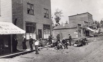
Manning, Alta, incorporated as a village in 1951 and as a town in 1957, population 1164 (2011c), 1493 (2006c). The Town of Manning lies beside the Notikewin River, 73 km north of the town of PEACE RIVER. The town is on the Battle River Prairie, which was heavily settled in the 1920s, with many homesteaders being veterans of World War I. The community was first known as Aurora. In 1945 Pat Craig received permission to subdivide Aurora into lots, and when work began on the MACKENZIE HIGHWAY in the late 1940s, Aurora was chosen as a district service center. As incorporation under the name Aurora was disallowed by postal authorities in order to prevent confusion with Aurora, Ont, the residents named the community after Ernest MANNING, the sitting premier of Alberta.
Manning is a major stop on the Mackenzie Highway and, in addition to farming, its economy is based on forestry and natural gas. Manning boasts a large museum and the 1937 Battle River Hospital is a registered historic resource. The Latvian-styled homestead of Charles Plavin (built between 1920 and 1940), 12 km south, is a provincial historic resource.