Share on Facebook
 Share on X
 Share by Email
 Share on Google Classroom
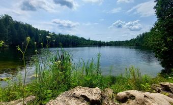
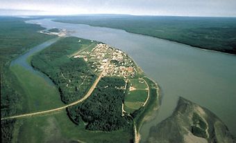
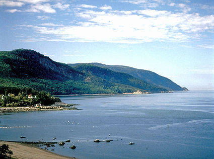
A river is a course of water, usually growing in volume between its source and its terminus in an ocean, a lake or another river. A stream or riverlet is smaller, but the volumes involved are not closely defined. Canada has many significant rivers such as the St. Lawrence River, the Mackenzie River and the Columbia River. Canada shares many of its rivers and their corresponding river basins with the United States.
Description
Most rivers have continuous, although variable, flow, but some may have no flow in very dry or very cold seasons. Streams, especially in drier and colder regions, are more prone to no-flow periods, and many are intermittent. Rivers and streams with large groundwater inflow are usually less variable in flow than those dependent on surface runoff. Running water has been dominant in shaping Earth's landforms, but in most of Canada, the impact of glaciation has been major, and running water is only slowly changing the landforms.
Canadian Shield rivers tend to be low in sediment, dissolved solids, calcium carbonate and turbidity; prairie rivers are high in each.
Waterways
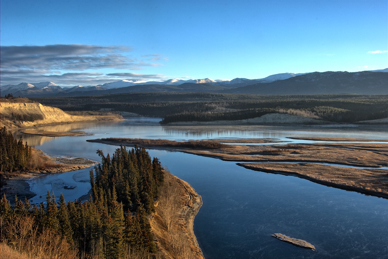
Most rivers and streams in Canada occupy well-defined channels that they have developed since the last ice age (within the last 6,000–14,000 years for most areas). Several regions have experienced extensive glacial rebound, which has affected the present course of major rivers. Some are "misfit" in large spillway channels that were formed by glacial meltwaters. Rapids and waterfalls separating stretches of wetlands and lakes occur where rock formations resistant to erosion are present, especially in Shield and Cordilleran regions ( see Physiographic Regions). They are less common in areas of deep drift deposits and softer rock, as in the Interior Plains, where channels are more regular in gradient. Some rivers with heavy sediment loads are locally braided, and many divide into distributary channels in deltas.

River Discharge
The rivers originating in Canada discharge approximately 105 135 m3/s (cubic metres per second) of flow to the ocean, which amounts to about 8 per cent of world river discharge. The St. Lawrence and Mackenzie rivers, each with approximately 10 000 m3/s, rank 16th and 17th among world rivers, second and third in North America. The Amazon is over 20 times as large as Canada’s largest river, and the Mississippi is about 75 per cent larger. The St. Lawrence River and Mackenzie River are approximately equal in annual flow, and arguments about which is larger depend upon semantic differences, such as where in the St. Lawrence estuary the water becomes brackish, and if the Peel and other tributaries of the Mackenzie Delta, entering below where the main channel divides, should be counted. The Mackenzie River is more variable in flow, being larger in some years and smaller in others. Additionally, the Mackenzie Basin is wholly Canadian and over three times as large as the Canadian portion of the St. Lawrence Basin (see Drainage Basins).
Longest Rivers in Canada
The Mackenzie River (to the head of the Finlay River in British Columbia) is the longest river in Canada (4,241 km), followed by the St. Lawrence (3,058 km), Nelson (2,575 km), Churchill (1,609 km), Fraser (1,368 km) and Yukon (1,149 km). Tributaries such as the Saskatchewan (1,939 km), Peace (1,923 km), Ottawa (1,271 km), Athabasca (1,231 km), Liard (1,115 km) and Assinniboine (1,070 km) are also very long (see Longest Rivers in Canada).

Drainage
Almost three-quarters of Canada is drained northward to the Arctic Ocean, Hudson Bay and Hudson Strait. This northward drainage involves almost half (48.6 per cent) of the total flow of Canada's rivers. Drainage to the Pacific (10.2 per cent of the area) accounts for almost one-quarter of the flow (23.7 per cent); drainage to the Atlantic (15.2 per cent of the area), for over one-quarter (27.7 per cent). A very small area is drained southward in the Missouri-Mississippi Basin. More recent measurements show that the earlier estimates for the northern and Pacific regions, and for Canada as a whole, were too conservative, and that northern values, especially, might be increased substantially (possibly as much as 20 per cent in some basins). Upward revisions might be expected as better, longer-term data become available. Canada has abundant freshwater supplies and, although regional shortages will be experienced, national shortages are unlikely.
Water Input
Most of the rivers and streams in Canada have snowmelt-dominated flow regimes. Winter snows, subject to very little evapotranspiration loss, provide the peak flows on melting in March-April in southern lowlands, and in May-June, extending into July, in higher mountain and northern areas. Summer rains are greater than winter snowfall in most regions, but much of the rain is lost to evapotranspiration in summer, and streamflow response is smaller (see Climate). Some rivers in lower-elevation areas of the Pacific coast have rainfall-driven peaks in midwinter. Glacier meltwater flows peak in midsummer, but this pattern is not dominant in most larger mountain rivers. Natural storage in groundwater aquifers, lakes, and wetlands results in reduced peak flows and more equable flow.
Human Impacts
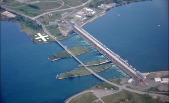
Artificial storage behind dams has contributed to major regime modification (see Reservoir). Much of the storage change is for hydroelectric power production, and winter flow enhancement is widely present. Storage for peaking power purposes may result in low flows at night and on weekends and major surges in flow during periods of peak demand. Such flow modification, as on the Kananaskis River, Alberta, may conflict greatly with recreation, wildlife conservation and other objectives. Storage for irrigation purposes is usually for mid- to late-summer periods when natural flow is declining.
The larger Canadian rivers have some natural lag in flow because of the size of their basins and the distances travelled by streamflow to downstream stations. Most have been modified in regime and sometimes volume by artificial storage and diversion. Interbasin transfers, largely for hydroelectric power and irrigation, and growing diversions for urban, industrial and other uses have affected the flow of many rivers. Some of the greatest impacts have been from the discharge of pollutants (see Pollution).
Natural processes contributing dissolved and suspended materials to rivers and streams have always resulted in striking regional and seasonal differences in water quality. Human activity has contributed directly and indirectly to these substances, and chemical, physical, and biological changes in water bodies have been apparent in many areas. Rivers and streams have been used as a convenient means of waste disposal. The capacity of some water bodies to assimilate waste has been widely and carelessly exceeded. Most industrial, municipal, agricultural and mining waste disposal can be controlled at the source (see Water Treatment). Nonpoint pollution, such as that from the atmosphere (e.g., acid rain), storm sewers and ill-defined sources, is more difficult to control. Good progress is being made in treating some waste streams, but the development of new chemical compounds is rapid; fortunately, public awareness of new hazards is growing.
List of the Principal Rivers of Canada
|
Drainage Basin and River |
Drainage Area (km2) |
Length (km) |
Mean Discharge (m3/s) |
|---|---|---|---|
|
102,800 |
801 |
2,790 |
|
|
Kootenay |
37,700 |
780 |
850 |
|
232,300 |
1,370 |
3,540 |
|
|
55,400 |
489 |
750 |
|
|
21,100 |
380 |
950 |
|
|
54,400 |
579 |
1,760 |
|
|
49,800 |
539 |
1,080 |
|
|
323,800 |
1,149 |
2,300 |
|
|
1,805,000 |
4,241 |
9,700 |
|
|
302,500 |
1,923 |
1,970 |
|
|
95,300 |
1,231 |
730 |
|
|
106,500 |
974 |
612 |
|
|
79,800 |
856 |
1580 |
|
|
Little Mecatina |
19,600 |
547 |
510 |
|
45,800 |
560 |
1,020 |
|
|
88,000 |
698 |
1,750 |
|
|
35,500 |
673 |
1,130 |
|
|
839,200 |
3,058 |
9,850 |
|
|
209,500 |
2,120 |
||
|
660,000 |
55 |
5,750 |
|
|
43,300 |
563 |
730 |
|
|
146,300 |
1,271 |
1,950 |
|
|
3,861,400 |
N/A |
30,594 |
|
|
135,200 |
982 |
1,420 |
|
|
Arnaud |
49,500 |
377 |
670 |
|
50,500 |
748 |
626 |
|
|
Leaf |
42,500 |
480 |
590 |
|
281,300 |
1,609 |
1,200 |
|
|
46,400 |
756 |
930 |
|
|
41,700 |
565 |
940 |
|
|
Grande de la Baleine |
42,700 |
724 |
680 |
|
Harricana |
29,300 |
533 |
570 |
|
71,500 |
850 |
540 |
|
|
133,400 |
874 |
2,800 |
|
|
la Baleine |
31,900 |
428 |
580 |
|
97,600 |
893 |
1,690 |
|
|
108,500 |
547 |
1,370 |
|
|
892,300 |
2,575 |
2,370 |
|
|
334,100 |
1,939 |
700 |
|
|
106,500 |
813 |
758 |
|
|
65,800 |
776 |
1,190 |
|
|
43,400 |
763 |
900 |
|
|
102,800 |
982 |
722 |
|
|
142,400 |
904 |
840 |
|
|
67,300 |
475 |
694 |