
Browse "Places"
-
Article
Diefenbunker, Canada's Cold War Museum
The "Diefenbunker" is an underground bunker designed to withstand the force of a nuclear blast. It was built in Carp, Ontario, during a peak in Cold War tensions between 1959 and 1961, and named after then-Prime Minister John Diefenbaker. It is now the location of Canada’s Cold War Museum.
"https://d3d0lqu00lnqvz.cloudfront.net/media/new_article_images/Diefenbunker_Tunnel.jpg" // resources/views/front/categories/view.blade.php
https://d3d0lqu00lnqvz.cloudfront.net/media/new_article_images/Diefenbunker_Tunnel.jpg
-
Article
Dieppe Raid
During the Second World War, on 19 August 1942, the Allies launched a major raid on the French coastal port of Dieppe. Operation Jubilee was the first Canadian Army engagement in the European theatre of the war, designed to test the Allies' ability to launch amphibious assaults against Adolf Hitler's "Fortress Europe." The raid was a disaster: more than 900 Canadian soldiers were killed, and thousands more were wounded and taken prisoner. Despite the bloodshed, the raid provided valuable lessons for subsequent Allied amphibious assaults on Africa, Italy and Normandy.
"https://d3d0lqu00lnqvz.cloudfront.net/media/media/98ce9487-a6b5-44be-bd1e-a65711432b95.jpg" // resources/views/front/categories/view.blade.php
https://d3d0lqu00lnqvz.cloudfront.net/media/media/98ce9487-a6b5-44be-bd1e-a65711432b95.jpg
-
Article
Digby
Digby, NS, incorporated as a town in 1890, population 2152 (2011c), 2092 (2006c). The Town of Digby is located on the west side of the Annapolis Basin in western Nova Scotia.
"https://thecanadianencyclopedia.ca/images/tce_placeholder.jpg?v=e9dca980c9bdb3aa11e832e7ea94f5d9" // resources/views/front/categories/view.blade.php
https://thecanadianencyclopedia.ca/images/tce_placeholder.jpg?v=e9dca980c9bdb3aa11e832e7ea94f5d9
-
Article
Diggity Archaeological Site
The Diggity archaeological site is located at the southeastern end of Spednic Lake, near the entrance to Palfrey Lake, in southwestern New Brunswick.
"https://d3d0lqu00lnqvz.cloudfront.net/media/media/5c63f682-2f7c-40a8-b0d4-287fd7865464.jpg" // resources/views/front/categories/view.blade.php
https://d3d0lqu00lnqvz.cloudfront.net/media/media/5c63f682-2f7c-40a8-b0d4-287fd7865464.jpg
-
search.types.interactivemap
Dinosaur Fossils in Canada Interactive Map
The map below indicates the location of dinosaur fossils found in Canada. Click on the individual dinosaur icons to learn the name of the dinosaur identified at that location, the period during which it lived, as well as other information. (See also Dinosaurs and Canada.)
"https://d3d0lqu00lnqvz.cloudfront.net/dinomap_twcard.png" // resources/views/front/categories/view.blade.php
https://d3d0lqu00lnqvz.cloudfront.net/dinomap_twcard.png
-
Article
Dinosaur Provincial Park
Dinosaur Provincial Park (established 1955, 70 km2) lies along the Red Deer River in southeastern Alberta. The park is the primary fossil site of the more than 100 different species of dinosaurs found in Canada. In 1979, the park was declared a United Nations World Heritage Site. (See also Dinosaurs and Canada.)
"https://d3d0lqu00lnqvz.cloudfront.net/scenicplaces/dinosaur-provincial-park-hoodoo.jpg" // resources/views/front/categories/view.blade.php
https://d3d0lqu00lnqvz.cloudfront.net/scenicplaces/dinosaur-provincial-park-hoodoo.jpg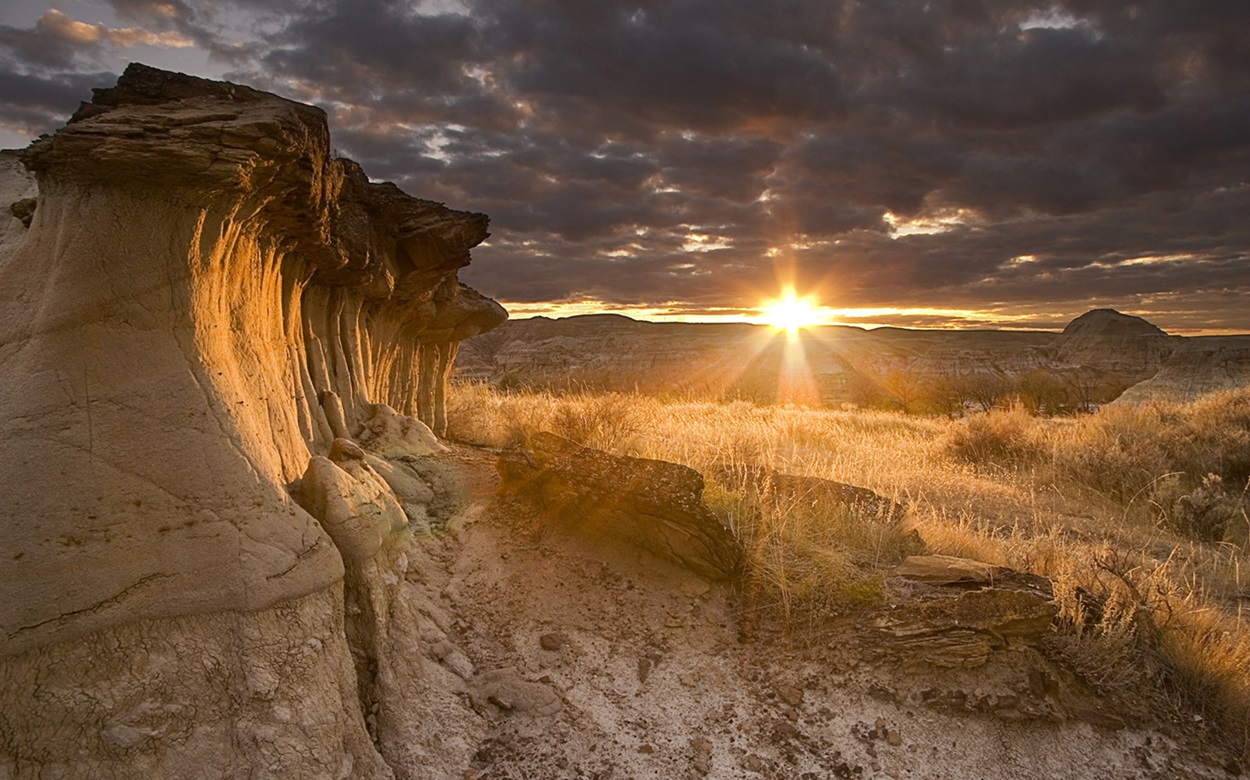
-
Article
Distillery Historic District / Gooderham & Worts National Historic Site
In 1832, English immigrants and brothers-in-law James Worts and William Gooderham built a 22-metre brick windmill on the edge of Toronto Bay that soon became a symbol of the young city.
"https://d3d0lqu00lnqvz.cloudfront.net/media/media/30c24516-9c51-4a8a-9d32-3851f149973c.jpg" // resources/views/front/categories/view.blade.php
https://d3d0lqu00lnqvz.cloudfront.net/media/media/30c24516-9c51-4a8a-9d32-3851f149973c.jpg
-
Article
Dixon Entrance
Dixon Entrance is a strait between Haida Gwaii on the north coast of British Columbia and Prince of Wales and Dall islands in Alaska.
"https://thecanadianencyclopedia.ca/images/tce_placeholder.jpg?v=e9dca980c9bdb3aa11e832e7ea94f5d9" // resources/views/front/categories/view.blade.php
https://thecanadianencyclopedia.ca/images/tce_placeholder.jpg?v=e9dca980c9bdb3aa11e832e7ea94f5d9
-
Article
Doak Historic Site
Doak Historic Site is located in Doaktown, NB, 94 km northeast of Fredericton.
"https://thecanadianencyclopedia.ca/images/tce_placeholder.jpg?v=e9dca980c9bdb3aa11e832e7ea94f5d9" // resources/views/front/categories/view.blade.php
https://thecanadianencyclopedia.ca/images/tce_placeholder.jpg?v=e9dca980c9bdb3aa11e832e7ea94f5d9
-
Article
Dolbeau-Mistassini
Dolbeau-Mistassini, Quebec, incorporated as a city in 1997, population 13,718 (2021 census), 15,214 (2016 census). Dolbeau-Mistassini is located at the confluence of the Mistassini and Mistassibi rivers, just north of Lac Saint-Jean. It comprises the two former communities of Dolbeau and Mistassini.
"https://d3d0lqu00lnqvz.cloudfront.net/Eglise_de_Sainte-Therese-d-Avila_-_Dolbeau-Mistassini.jpg" // resources/views/front/categories/view.blade.php
https://d3d0lqu00lnqvz.cloudfront.net/Eglise_de_Sainte-Therese-d-Avila_-_Dolbeau-Mistassini.jpg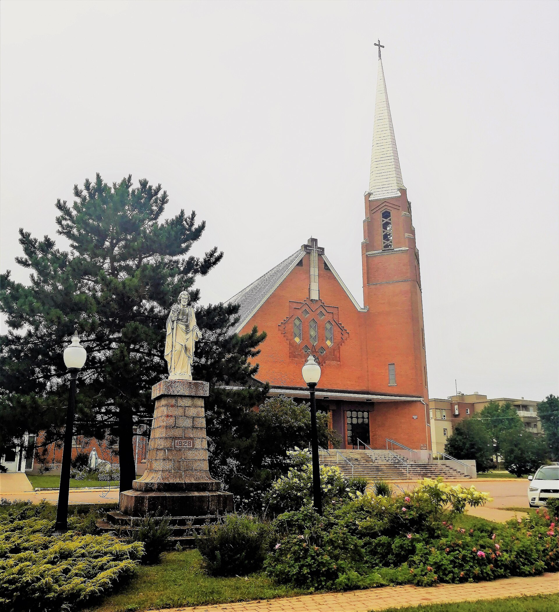
-
Article
Dollard-des-Ormeaux
Dollard-des-Ormeaux, Quebec, incorporated as a city 1960, population 49,637 (2021 census), 48,899 (2016 census). Dollard-des-Ormeaux is located on the northwest side of the Island of Montréal, near the Prairies River. It is bordered by the municipalities of Pierrefonds, Roxboro, Saint-Laurent, Kirkland, Pointe-Claire and Dorval.
"https://d3d0lqu00lnqvz.cloudfront.net/media/media/24a870a1-45c5-4525-a371-1862540acdc3.jpg" // resources/views/front/categories/view.blade.php
https://d3d0lqu00lnqvz.cloudfront.net/media/media/24a870a1-45c5-4525-a371-1862540acdc3.jpg
-
Article
Dominion of Canada
Dominion of Canada is the country’s formal title, though it is rarely used. It was first applied to Canada at Confederation in 1867. It was also used in the formal titles of other countries in the British Commonwealth. Government institutions in Canada effectively stopped using the word Dominion by the early 1960s. The last hold-over was the term Dominion Day, which was officially changed to Canada Day in 1982. Today, the word Dominion is seldom used in either private or government circles. This article is a full-length entry about the Dominion of Canada. For a plain-language summary, please see Dominion of Canada (Plain-Language Summary).
"https://d3d0lqu00lnqvz.cloudfront.net/media/media/143f8587-f938-4cf1-bdc2-c441d02dc962.jpg" // resources/views/front/categories/view.blade.php
https://d3d0lqu00lnqvz.cloudfront.net/media/media/143f8587-f938-4cf1-bdc2-c441d02dc962.jpg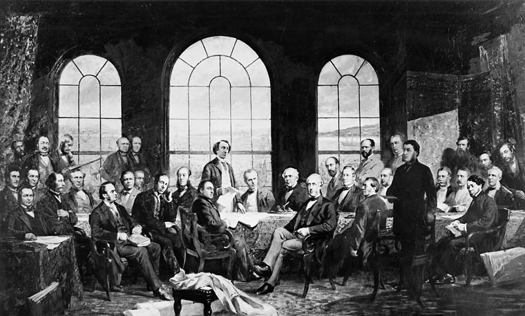
-
Article
Dominion (NS)
Dominion, NS, Unincorporated Place. Dominion is located 6 km northwest of GLACE BAY on the south side of Lingan Basin on Cape Breton Island.
"https://thecanadianencyclopedia.ca/images/tce_placeholder.jpg?v=e9dca980c9bdb3aa11e832e7ea94f5d9" // resources/views/front/categories/view.blade.php
https://thecanadianencyclopedia.ca/images/tce_placeholder.jpg?v=e9dca980c9bdb3aa11e832e7ea94f5d9
-
Article
Donnacona (Qué)
History Donnacona had its beginning in 1700 with the building of a paper mill at a site along the river called Fond Jacques-Cartier. A second mill was built in 1815 and a third mill, Donnacona Paper, was built in 1912.
"https://d3d0lqu00lnqvz.cloudfront.net/media/media/25bfb5e0-54ea-4275-922f-a940e33fd2de.jpg" // resources/views/front/categories/view.blade.php
https://d3d0lqu00lnqvz.cloudfront.net/media/media/25bfb5e0-54ea-4275-922f-a940e33fd2de.jpg
-
Article
Dorval
Dorval was a farming community and a resort area until the outset of the Second World War. In 1941 it became the home of the FERRY COMMAND and of a military airport, today's Montréal International Airport. After the war, this airport was an economic magnet.
"https://thecanadianencyclopedia.ca/images/tce_placeholder.jpg?v=e9dca980c9bdb3aa11e832e7ea94f5d9" // resources/views/front/categories/view.blade.php
https://thecanadianencyclopedia.ca/images/tce_placeholder.jpg?v=e9dca980c9bdb3aa11e832e7ea94f5d9