Share on Facebook
 Share on X
 Share by Email
 Share on Google Classroom
Geography
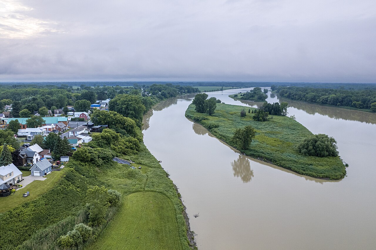
Rivière Saint-François originates in Lac Saint-François, 48 km northwest of the town of Lac-Mégantic, in the forested or agro-forested Appalachian region (see also Lac Mégantic (lake)). It flows in a southwest direction through Lac Aylmer towards Lennoxville and Sherbrooke, where it is joined by Rivière Magog. Now flowing to the northwest, it reaches the St. Lawrence Lowland in the agricultural region north of Drummondville before flowing into Lac Saint-Pierre.
History
Named in 1635 in honour of François de Lauson, eldest son of the fourth governor of New France, Rivière Saint-François is called Alsigântekw ("river of the drifting plants," or "shelly river") by the Abenaki. The river was used by the Abenaki and the French as early as 1670. The major part of the Saint-François basin was not opened up to colonization until the end of the 18th century.