Share on Facebook
 Share on X
 Share by Email
 Share on Google Classroom
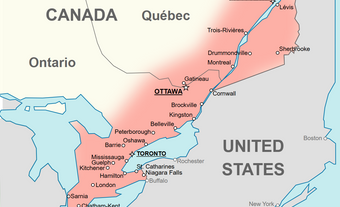
The Canada-United States border is the longest international border in the world, spanning almost 9,000 kilometres across eight Canadian provinces and territories. Because of the strong economic, social and cultural ties between Canada and the United States, many towns were established right along this border. Some towns even rely on their neighbouring country for municipal services or cultural connections. Below are some notable examples of such towns. All populations listed are from the 2021 Canadian census.
St. Stephen, New Brunswick (population 4,510)
Residents of St. Stephen, New Brunswick, regularly cross over the short bridges to neighbouring Calais, Maine, to visit family or shop for groceries. The towns are only separated by a narrow stretch of the St Croix River.
These two communities have always had friendly relations. They share fire and emergency services. Every summer, the mayors of each town meet at the International Homecoming Festival to shake hands and celebrate the closeness of their localities, a tradition that began in 1973. There is even a local legend that, rather than fight each other during the War of 1812, inhabitants of St. Stephen gave their supply of gunpowder to Calais, so that the Americans could use it in their Fourth of July celebrations.
Stanstead, Quebec (population 1,483)
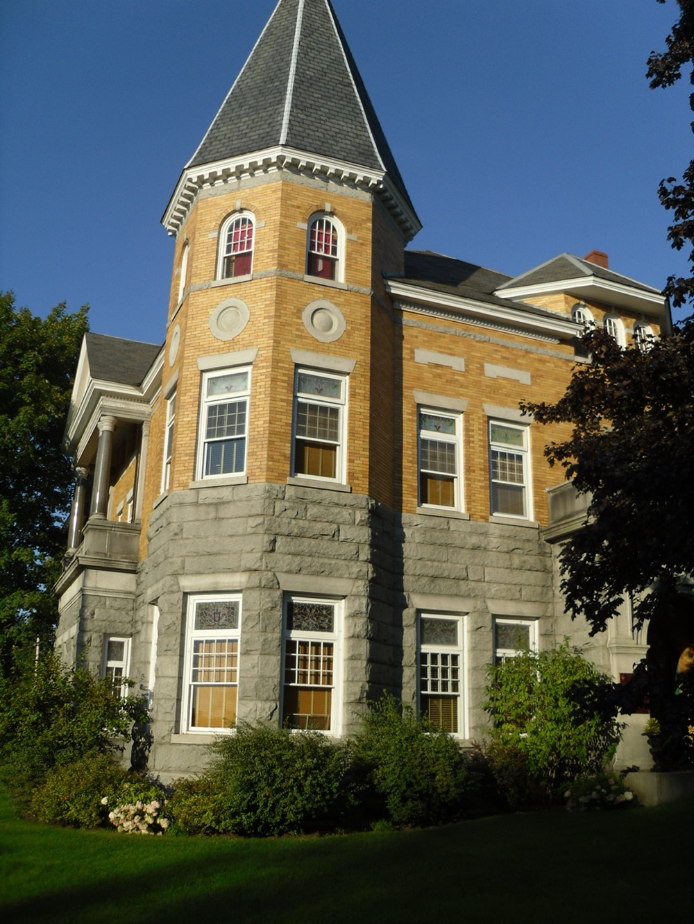
The only thing separating Stanstead, Quebec, from Derby Line, Vermont, is the invisible border, meaning they are effectively one community. The two towns are so interconnected that they share sports fields, water and sewage services, and fire services, as well as a famous library.
The Haskell Free Library and Opera House was built by Martha Stewart Haskell, a Canadian-American heiress, at the turn of the 20th century (a time when locals essentially behaved as if there was no border), as a symbol of both countries’ shared appreciation for literacy, arts and culture. Inside the library, the border is marked by a line of tape bisecting the floor. Books come from both countries, in English and French, and Canadians and Americans can enter without a passport. Due to its unique location, the United States government declared the Haskell a neutral area during the Second World War (WWII) in order to avoid complications for visitors. The library was designated a National Historic Sites of Canada in 1985.
Fort Erie, Ontario (population 32,901)
Fort Erie has a long military history: the town is named after Old Fort Erie (see Fort Erie National Historic Site of Canada), which was used as a supply base for British troops during the American Revolution and became a key battleground during the War of 1812. American soldiers captured it in 1814 before eventually blowing up the fort — though whether the explosion was intentional or not is debated — and retreating across the Niagara River to next-door Buffalo, New York. The fierce struggle for control of the fort makes Fort Erie, to this day, the site of the bloodiest battlefields in the history of Canada.
In the mid-1800s, Fort Erie’s proximity to Buffalo made it a major crossing point for African Americans seeking freedom from enslavement on the Underground Railroad. Freedom seekers would take the short boat ride from the American side into Fort Erie.
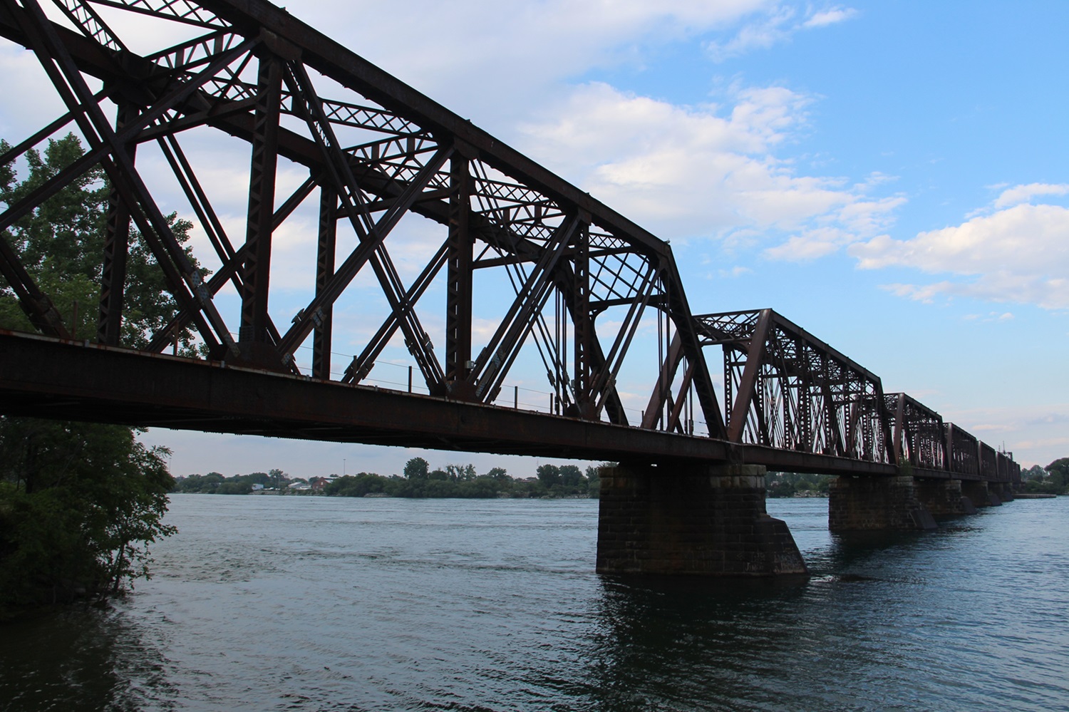
Since 1927, the Peace Bridge, which was built in part to commemorate 100 years of peace between Canada and the United States, has connected Fort Erie and Buffalo. It is one of the busiest Canada-United States border crossings, with people frequently passing through for shopping and cultural activities.
Coutts, Alberta (population 224)
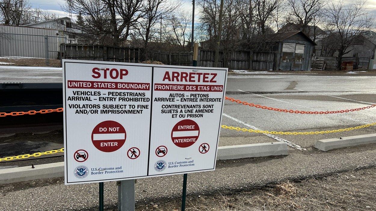
Coutts, Alberta, was established as the border crossing point on a north-south train line between Alberta and Montana. Coutts is next to the unincorporated community of Sweet Grass, Montana. In 1890, the train station was built partly in Coutts and partly in Sweet Grass — the border ran right through the combined waiting and dining room of the station.
Although the train station no longer straddles the border, the two communities remain deeply integrated. They share fire services, and while Sweet Grass relies on Coutts for water, Coutts has occasionally used electricity from Montana. On both sides, the local economies are based around farming and ranching. Harkening back to its railway days, the modern crossing at Coutts and Sweet Grass is the busiest along the Alberta-Montana border, mainly because of the many agricultural goods, including grains and meat, heading in both directions.
Stewart, British Columbia (population 517)
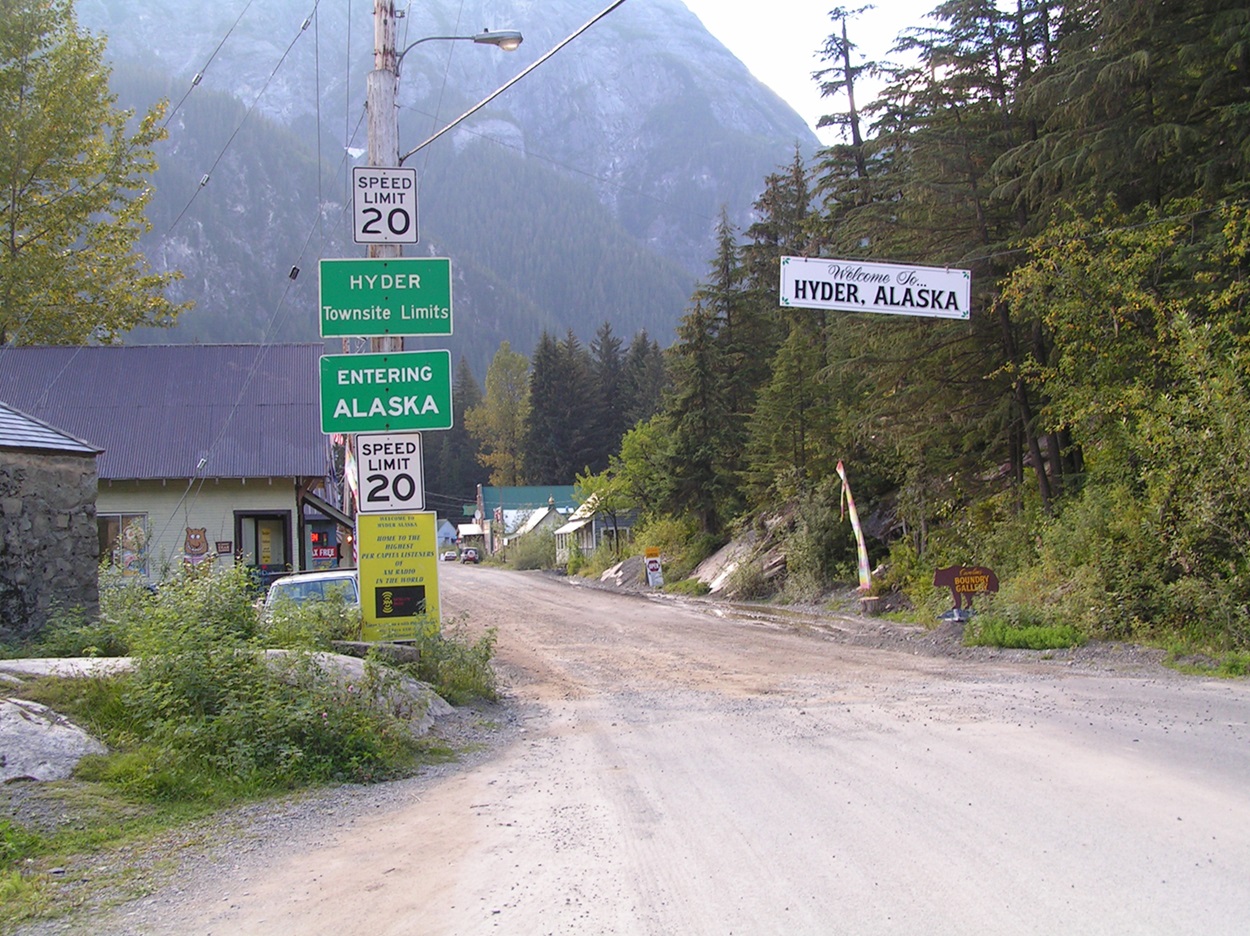
Stewart, British Columbia, began as a mining town in the British Columbia mountains. Stewart is neighbours with Hyder, Alaska. Both towns thrived following the discovery of nearby rich veins of gold and silver in the early 20th century, but their fortunes waned due to declining ore grades, and their populations have since severely declined.
Today, Hyder is heavily reliant on the economy and municipal resources of Stewart, to the point that they are basically one community. Most of the businesses in Hyder transact in Canadian currency, and the town uses a Canadian area code. It relies on electricity and telecommunications services from British Columbia. What’s more, Hyder is accessible only by a single road that leads directly to Stewart — there are no roads from Hyder to anywhere else in the United States. Given its geographical isolation, children from Hyder attend school in Stewart, and Hyder’s residents use Stewart’s healthcare facilities and police services.