Share on Facebook
 Share on X
 Share by Email
 Share on Google Classroom
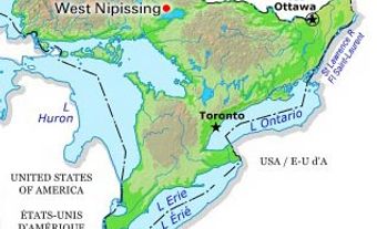
Goderich, Ont, incorporated as a town in 1850, population 7521 (2011c), 7563 (2006c), seat of Huron County. The Town of Goderich is located on a bluff above Lake Huron at the mouth of the Maitland River, 130 km northeast of SARNIA. The site, with its small natural harbour, was discovered 1827 by the CANADA CO's William "Tiger"DUNLOP.
The town was named for Lord Goderich, British PM 1827-28. A trail chopped 97 km through the bush provided access in 1828. The town site was laid out 1829 with the idea that Goderich would become the entrepôt for the Canada Co's 400 000 ha Huron Tract.
The town has wide, tree-lined streets which radiate from a central octagonal square like the spokes of a wheel. Development fell short of expectations, and while the town became the terminus of a railway from Buffalo in 1858, it commanded only local trade. In 1866 the discovery of salt by a company drilling for oil gave Goderich a major industry. Since the 1870s it has remained stable, growing slightly with the development of the resort industry. The massive stones of the historic Huron County Jail (1839-42) contrast with its graceful design; the exercise yards are enclosed by an octagonal wall.