Share on Facebook
 Share on X
 Share by Email
 Share on Google Classroom
Geology
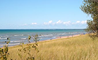
After withdrawal of the Palaeozoic seas, which had spread across most of the continent, there is little record of geological events in the Great Lakes area between the end of the Pennsylvanian and late Neogene periods. Although broad river valleys likely crossed the area, remnants of erosion surfaces in Illinois and Wisconsin cannot be traced across the Great Lakes, and reconstructions of preglacial drainage are uncertain. The Great Lakes lie near the intersection of the Hudson Bay, Mississippi River and St. Lawrence River drainage basins. Because of progressive headwater capture by the Mississippi, that watershed now lies only about 10 km from parts of the southern shores of lakes Erie and Michigan, and only about 20 km from the western end of Lake Superior. Postglacial isostatic uplift continues to raise the northern shorelines of the Great Lakes by about 0.4 m per century, relative to the southern shores of lakes Erie and Michigan.
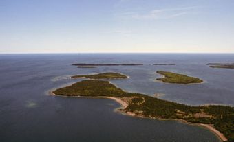
The Great Lakes occupy bedrock depressions that have been differentially eroded by glacial ice, and their form and location are largely controlled by structural geology. The arcuate forms of lakes Huron and Michigan have developed around the periphery of the Michigan structural basin, and the more resistant Silurian limestones and dolomites (Niagara Escarpment) separate Georgian Bay and Green Bay from the main lakes. The form of Lake Superior is largely controlled by Precambrian geology; that of lakes Erie and Ontario by trends in the underlying Appalachian geosyncline.
During the last glacial period (which lasted more than a million years) there were four glacial stages and, with each, the lake basins were progressively enlarged. Towards the end of the last glaciation (Wisconsin), lakes formed in front of retreating ice margins, first in the Erie and Michigan basins, and drained south to the Mississippi more than 14,000 years ago. Subsequently, a lake formed in the southern part of the Huron basin and drainage between Erie, Huron and Michigan was linked. There was also an outlet to the Hudson River (south of the Ontario basin). The Ontario basin became ice free about 12,000 years ago; Lake Superior and Georgian Bay later. The presence of ice margins caused many early lakes to form at very high levels. At one time, a single huge lake covered much of the upper Great Lakes area (Superior, Michigan and Huron). As the ice melted away from the natural outlets, lake levels often dropped quickly and to extremely low levels, for example, about a 150 m drop in the Ontario basin, with the opening of the St. Lawrence Valley (12,000–11,500 years ago). As a result of continued uplift during the past 10,000 years, upper lakes drainage was fully transferred (through lakes St. Clair and Erie) to Lake Ontario only 4,000–5,000 years ago, when the Chicago outlet (Lake Michigan) closed.
Transportation
The Great Lakes provide an important transportation route to the interior of the continent. With the opening of the St. Lawrence Seaway (1959) they became a truly international waterway.